We left Alice Springs very hesitantly heading further South…Alice had be soooo cold the idea of more of it was starting to weigh on our minds a little so we planned some alternate routes to head up to Cairns etc instead of going out across the Simpson Desert and Outback NSW. We decided just to harden up and endure the cold weather of the central Australian winter and looking back now are overwhelmingly happy with our decision after seeing the beauty and serenity the desert had to offer.

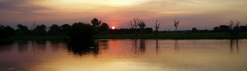
Reflection on Redbank Waterhole
From Alice we high-tailed it down the Stuart Highway to Coober Pedy and checked into an underground camp site which was bizzare to say the least! As you probably know in Coober Pedy everyone works and lives underground – the concept of living underground out here is great given the harshness of the weather.

Coober Pedy – our underground camp site
There’s something about Coober Pedy though that’s slightly odd. I think the people get cabin fever or something living underground for so long and turn slightly kooky as a result…we saw odd art that looked like giant paper mache volcano things made out of spare car parts, an odd “big winch” with no apprarent purpose, an odd guy called Crocodile Harry’s house that was used in Mad Max – there’s some info on this eccentrics website about crocodile Harry (although I just noticed there’s also some eccentric called David Robinson on the page which I promise wasn’t me).

Coober Pedy – Crocodile Harry’s dugout
The underground camp site also included a tour from the owner of his failed opal mine so we learnt a little bit about how to find opals and dig for them…although I’m not sure it was the best advice given he failed at it. I don’t think we’ll be moving to Coober Pedy to stake our claim and make our riches in Opals anyway!

Coober Pedy – our underground camp site mine tour
After the oddness of Coober Pedy we drove into the outback towards William Creek and for the first time in the whole trip actually felt ‘remote’. Much of the drive was on the worlds largest cattle station, Anna Creek, which is 5,873,000 acres of land and we could drive a whole day without seeing another person. It made the journey out to see Lake Eyre quite special.

Anna Creek Station cattle yards
There’s a little ‘park’ at William Creek (by park I mean patch of dirt) which was a collection of space junk which has landed throughout the desert. When any of the locals find a piece of satellite or missile of some sort that’s come crashing down to earth, they drag it to William Creek and dump it in this park!

William Creek space junk
The area surrounding Lake Eyre is pretty much what I would expect it to look like on the moon. There’s no trees, no grass, no cows, nothing! I imagine it would make a good place to make films with people walking on the moon or other planets etc. As you get closer to the lake there is some greenery around but there was no water left in the section we were at…so it was just a big flat endless sea of white salt.

The moon, near Lake Eyre

Lake Eyre
From Lake Eyre we drove North up the Oodnadatta Track which is and old stock route and one of the iconic Australian 4wd adventures, with history and natural beauty to keep us interested while heading up to where we wanted to make our SImpson Desert crossing. Along the way we found some of our best camping yet and had many great fires while watching yet more amazing sunsets which after four months of seeing them continuously, still leave us breathless. One of the nights brought a short spell of rain which caught us unaware as we hadn’t seen rain for a while, and we managed to get the dome tent wet, the rooftop tent and mattress wet and our doona wet so we had a bit of a wet nights sleep and then spent the next day drying everything.

The Pink Roadhouse – Oodnadatta
Oodnadatta was a pretty strange little place too, with the centrepiece being the “Pink Roadhouse” where everything within sight has been painted pink. The Pink Roadhouse has been the best source of accurate information we’ve come across to get advice on where to go, tyre pressures to use, what to see what to take etc. They are truly great here and their ‘mud maps’ and guides have helped us incredibly. These guys have also put literally hundreds of signs along the Oodnadatta track to give informaiton to the travellers about the background of each water hole, lookout, campsite, creek crossing etc is. They also cleverly document the Old Ghan Railway and it’s historical stations, buildings, tracks and bridges which once upon a time ran along this route.

Some of The Old Ghan Railway ruins – Oodnadatta Track
There’s some more photos of this area on the Outback SA photos page
Dave